Buffalo Niagara International Airport (BUF)
Orientation and Maps
(Buffalo, New York (NY), USA)
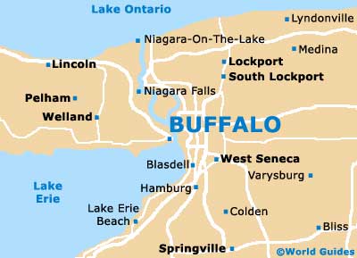
The city of Buffalo lies on the eastern shore of Lake Erie and to the east of nearby Fort Erie. Also close to Buffalo, Cheektowaga and West Seneca can be found on the western outskirts of the city, while Amherst, Kenmore and North Tonawanda are all sited to the north.
To the east of Buffalo you will find the regional transport hub that is Buffalo Niagara Airport (BUF). Many regional airlines operate at the airport, offering a range of regular daily flights. They include Jet Blue Airways, which provides inexpensive round trips to New York city, with flight times of less than one hour. Those traveling into Buffalo by bus will find that the Greyhound terminal is located on Ellicott Street, with frequent buses to and from Niagara Falls, while the Amtrak train station is situated along Exchange Street.
Buffalo Niagara Airport (BUF) Maps: Important City Districts
The main visitors center in Buffalo stands on Main Street and provides useful city maps and information about walking tours of the area, which are particularly popular during the warm summer months. Downtown Buffalo is the true heart of the city and contains the magnificent City Hall building, which dates back to 1931 and is famous for its art deco architecture, boasting a popular observation deck.
Other prominent districts within the city of Buffalo include Allentown, the Loyejoy Neighborhood and North Buffalo. Also worth a mention is the city's Theater District, which encompasses around 20 blocks in the downtown area and is based around Main Street, being home to Shea's Performing Arts Center and many other top attractions.
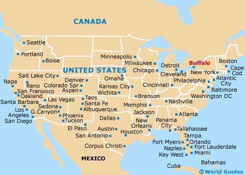
USA Map
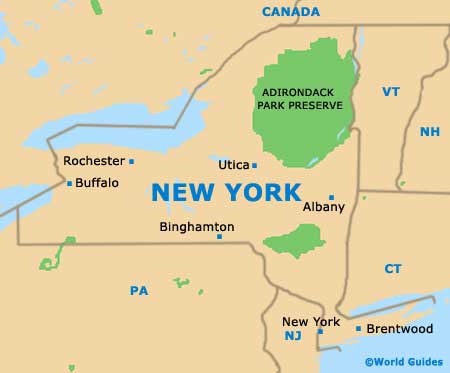
New York State Map
Buffalo Map